Update on Thornhill SNAP’s
Action Planning Process
The Thornhill SNAP Draft Action Plan is here!
Please take a moment to review the draft Action Plan for the Thornhill neighbourhood, including the proposed vision statement and design principles.
This plan was developed based on broad community engagement, and we are looking for your feedback!
Click on or touch the image below to see a full-sized PDF version. The PDF will open in a new browser tab. Use the plus symbol (+) on your desktop or double-tap/pinch on your mobile device to zoom in and view details.
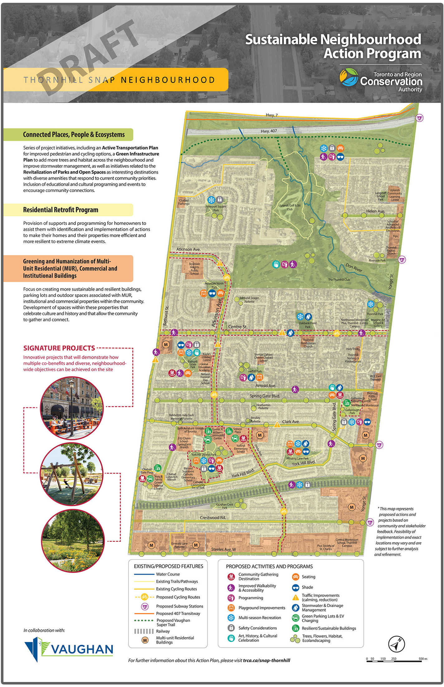
The Action Plan comprises three integrated project ideas, each with its own design principles and proposed actions.
- Connected People, Places and Ecosystems
- Residential Retrofit Program
- Active Transportation/Trail Plan
- Green Infrastructure Plan
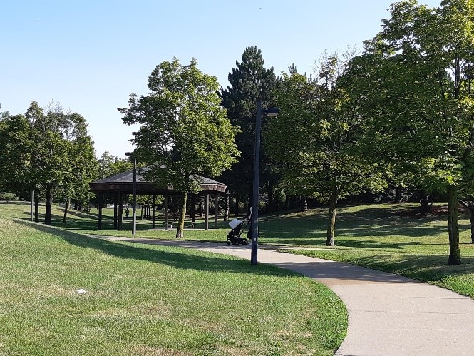
- Park and Open Space Revitalization
- Programming and Events for Education, Culture and Community Connections
- Greening and Humanization of Multi-Unit Residential (MUR), Institutional and Commercial Properties
The comment period for the Draft Action Plan is now closed. Our thanks to all who completed the feedback form.
ABOUT OUR PLANNING PROCESS
 |
Phase 1: Q4, 2019 Scoping Issues, Stakeholders and Interests |
|
Phase 2: Q1, 2020 Defining Motivational Themes and Action Planning Concept Areas |
 |
Phase 3: Q1-Q4, 2020 Co-creating the Action Plan |
SNAP’s planning process begins with neighborhood selection, using a unique Toronto and Region Conservation Authority (TRCA) mapping tool that layers the priorities of the watershed, local municipalities, and planned capital projects.
This selection exercise identifies hot spot areas of overlapping priorities, ensuring that multiple outcomes can be achieved.
Once the neighbourhood is selected, the planning process moves through three phases, containing two crucial workshops before implementation is initiated.
Multi-stakeholder engagement, quick start launches and events, and scoping and analysis take place across all three planning phases.
Phases 1 and 2 of the Thornhill SNAP planning process, including the first of the two workshops, have been completed. Becasuse of the COVID-19 pandemic, we have decided to replace the second workshop with interactive online engagement.
PHASES 1 & 2: RESULTS
Thank you to everyone who took the time to meet with us, fill in our survey, or participate in the community workshop.
Through the extensive community engagement undertaken in Phase 1 and 2 of the Thornhill SNAP planning process, we have identified five motivating themes to be incorporated as we identify integrated project ideas in Phase 3.


WHAT’S NEXT
The SNAP team is in the process of identifying integrated project ideas that will respond to the neighbourhood’s technical issues, while incorporating the community priorities and motivating themes expressed through public engagement.
STAY TUNED!
Our online engagement process will launch later in the spring. Through this process, residents will have the opportunity to confirm project ideas and come together with local stakeholders and municipal staff to co-design integrated neighbourhood projects!
About Thornhill SNAP
Toronto and Region Conservation Authority (TRCA) and the City of Vaughan are working closely with neighbourhood community leaders, residents, and businesses to develop a Sustainable Neighbourhood Action Plan (SNAP) for Thornhill.
Retrofits to the natural and built environment will demonstrate implementation of signature strategies that include:
- TRCA’s Don River Watershed Implementation Guide (2009)
- TRCA’s 10-Year Strategic Plan
- Green Directions Vaughan
- Community Climate Action Plan (2014)
- Active Together Master Plan (2018)
- Vaughan’s Stormwater Management Master Plan (Under Revision)
- Vaughan Municipal Energy Plan: Plug into a Smart Energy Future (2016)
The neighbourhood Action Plan will also support the Region of York Water Efficiency and Climate Action priorities.
About the Thornhill Community
The Study Area boundaries for the SNAP Action Plan are Steeles Avenue to the south, Highway 407 to the north, Bathurst Avenue to the west, and Yonge Street to the east.
DOWNLOAD A COPY OF THE NEIGHBOURHOOD MAP
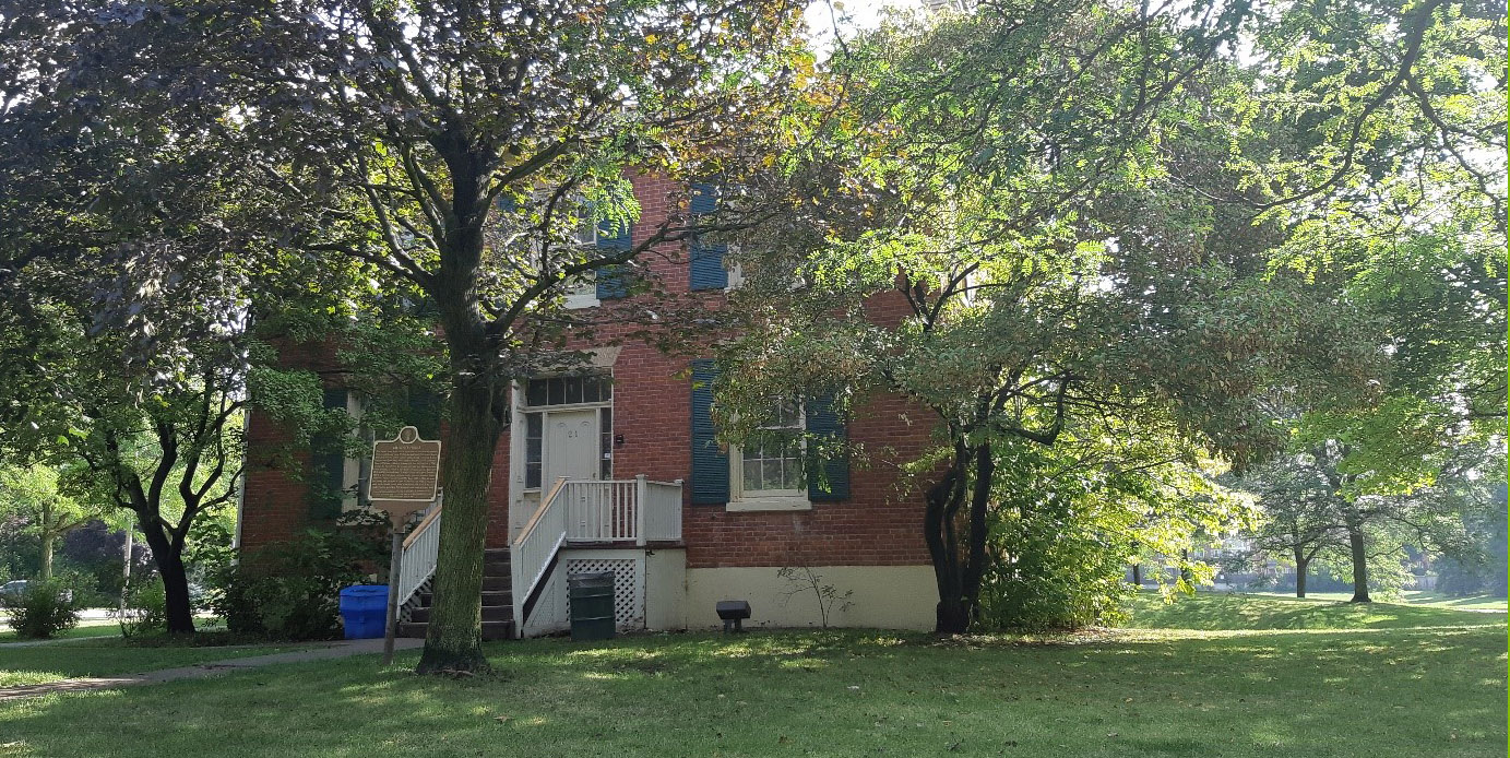
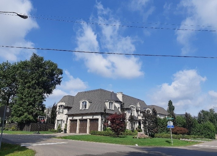
The northeast section of the neighbourhood is a Heritage Conservation District, characterized by a wealth of historic buildings, sites, and landscapes dating from the mid 19th century.
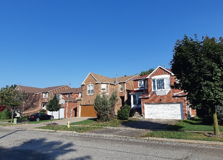
The rest of the neighbourhood was mostly built between the 1960s and 1980s. Significant redevelopment is taking place today.
The Thornhill area is home to more than 36,000 people living in both detached homes and condo towers. It has 13 parks and 18 institutions servicing the community, including public and private schools, places of worship, community centres, and libraries.
Thornhill also has small commercial areas on its main streets.


The neighbourhood is part of the Don River Watershed, and is home to sensitive target fish species and a healthy urban forest. It is also a Flood Vulnerable Area, at risk of both urban and riverine flooding*.
In addition, Thornhill consumes more energy and water (both indoor and outdoor) than most other neighbourhoods in City of Vaughan and wider York Region.
There are a number of significant capital infrastructure projects planned for this community in the coming years, including flood remediation and stormwater management initiatives, park revitalization and community centre retrofits, and a trail strategy.
There is an opportunity, through SNAP, to leverage some of these projects to achieve higher impact, by adding beauty, ecological function, and recreational opportunities.
*Riverine flooding occurs when the water levels of rivers rise, overflowing their banks. Reducing riverine flood risk is under the mandate of Conservation Authorities like TRCA. Urban flooding consists of street flooding, basement flooding and flooding of other low-lying areas due to the overflow of local drainage systems. Municipalities are responsible for managing this type of flooding.
About the Action Plan
The SNAP Action Plan for Thornhill is currently being developed. It will be a comprehensive plan for neighbourhood revitalization that integrates local community priorities, climate resiliency, and sustainability objectives across the private and public realms.
The Thornhill SNAP will align municipal and partner objectives with resident interests, resulting in innovative urban renewal with measurable impacts on sustainability and resiliency, as well as benefits to community health and well-being.
Do You Live or Work in this Neighbourhood? Get Involved!
We want to get residents and businesses involved. Keep an eye out for us at your local events!
Got questions? Contact:
Adriana Gomez, Senior Program Manager
Toronto and Region Conservation Authority (TRCA)
416-661-6600 ext. 5367
adriana.gomez@trca.ca
In Collaboration With: