
Something Exciting is Happening Here!
Green revitalization projects are planned for your building — including tree planting, perennial pollinator gardens, and growing healthy, local food through community gardens and container gardens.
Are you a local champion? We are looking for leaders!
Residents of Knightsbridge Kings Cross Apartments (3,11 Knightsbridge Road and 5 Kingscross Road, Brampton) and Chelsea Gardens (4, 10 Knightsbridge Road, Brampton) are invited to join us in creating local change at your building.
Give us your input to receive an Indoor Microgreens Growing Kit! Contact Chaya Chengappa at Chaya.chengappa@trca.ca or (647) 972-4936 by December 21 2020.
Hurry now! A limited number of kits are available on a first-come, first-served basis (Limit 1 kit per unit).
This Tower Resilience & Efficiency initiative is a collaboration with CAPREIT and Peel Living.

Toronto and Region Conservation Authority (TRCA), City of Brampton, Region of Peel and Healthy Communities Initiative are working closely with neighbourhood community leaders, residents, and businesses to develop a Sustainable Neighbourhood Action Plan (SNAP) for Bramalea.
Retrofits to the natural and built environment will demonstrate implementation of City of Brampton’s Grow Green Master Plan and Vision 2040, TRCA’s Etobicoke and Mimico Creeks Watersheds Plan, the Healthy Communities Initiative (HCI) and Region of Peel Public Health priorities. They also support the Region of Peel’s Climate Change and Water Efficiency priorities.
About the SNAP Action Plan
The SNAP Action Plan is comprehensive action plan for neighbourhood revitalization that integrates local community interests and sustainability objectives.
The Bramalea SNAP combines government and community priorities, resulting in measurable environmental improvements and community health and well-being benefits.
ABOUT OUR PLANNING PROCESS
 |
Phase 1: Summer 2019 Scoping Issues, Stakeholders and Interests |
|
Phase 2: Fall 2019 to Winter 2020 Defining Motivational Themes and Action Planning Concept Areas Workshop #1: September 7, 2019 |
|
Phase 3: Winter to Summer 2020 Co-creating the Action Plan Workshop #2: February 1, 2020 |
SNAP’s planning process begins with neighborhood selection, using a unique TRCA mapping tool that layers the priorities of the watershed, local municipalities, and planned capital projects.
This selection exercise identifies hot spot areas of overlapping priorities, ensuring that multiple outcomes can be achieved.
Once the neighbourhood is selected, the planning process moves through three phases, containing two crucial workshops before implementation is initiated.
Multi-stakeholder engagement, quick-start launches and events, and scoping and analysis take place across all three planning phases.
The Bramalea SNAP is guided by a Project Management Team with representatives from TRCA, City of Brampton, and Region of Peel.
NEXT STEPS
We will be seeking input on the Draft Action Plan throughout the month of September 2020.
After input is collected and integrated, we will create a final Action Plan report in late fall and seek City of Brampton Council approval.
We will then shift to implementation and ongoing community involvement in projects varying from short to long term.
About the Bramalea Community
The SNAP Action Plan will focus on the K, E and F sections of Bramalea. First developed in the 1960s, this area was planned as Canada’s first “satellite city”* and has a unique history and identity in Brampton.
Select the images below to view full-sized maps.


*Learn more about Bramalea’s history HERE.
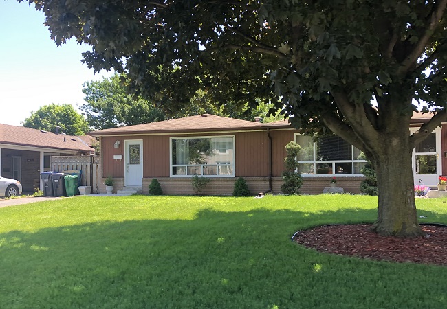
The area is home to more than 13,600 people living in detached and semi-detached homes, town homes, apartment and condo towers.

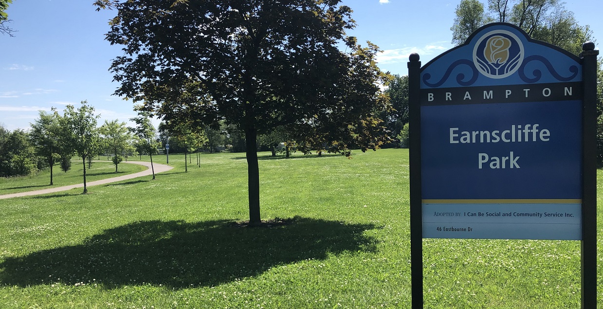
There are numerous parks, schools and places of worship, as well as a recreation centre. Western portions of the neighbourhood drain to the Spring Creek, which is part of the Etobicoke Creek Watershed. Eastern portions form the headwaters of the main branch of the Mimico Creek, within the Mimico Creek Watershed.
Contact Information
We want to get residents and businesses involved. Keep an eye out for us at your local events!
Got questions? Contact:
Shannon Logan, Senior Program Manager
Toronto and Region Conservation Authority (TRCA)
(416) 661-6600 ext. 5367
shannon.logan@trca.ca
Local Resources
In collaboration with: