
Toronto and Region Conservation Authority (TRCA) is embarking on the development of a new watershed plan for the Etobicoke Creek watershed that will use the latest science and data to inform municipal land use and infrastructure planning.
The Etobicoke Creek watershed is at the western end of TRCA’s jurisdiction and is heavily urbanized.
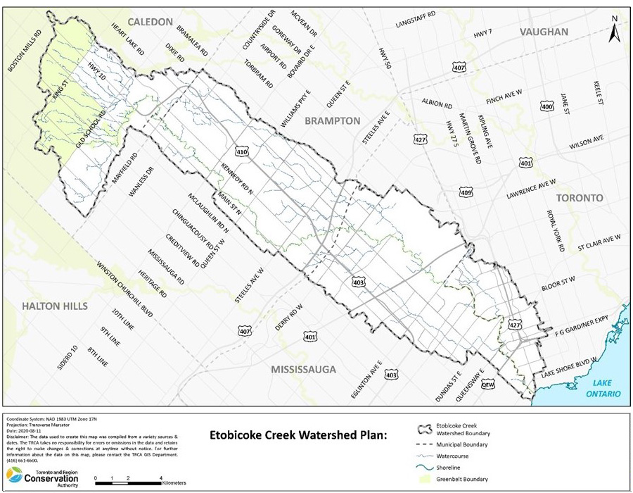
The development of this Etobicoke Creek watershed plan will be a collaborative effort between TRCA, City of Toronto, Region of Peel, City of Mississauga, City of Brampton, Town of Caledon, Mississaugas of the Credit First Nation, and the Greater Toronto Airport Authority.
Public and stakeholder engagement will occur throughout the watershed planning process. To be involved, please join our mailing list:
Etobicoke Creek Watershed Planning Process
Watershed planning helps to inform how land use and infrastructure planning influence and affect the natural ecology of the watershed.
The last watershed plan for Etobicoke Creek was completed in 2002, with an update of implementation priorities, incorporating new information, completed in 2010.
 |
Watershed Characterization 2020-2021 Identifies the current conditions of the watershed (i.e. habitat and water quality, flooding and erosion issues). |
|
Future Management Scenarios 2021-2022 Assesses how the watershed will respond to potential future change due to different land use patterns and the effects of climate change. |
|
Implementation Planning 2022-2023 Identifies what needs to be done to protect, enhance and restore watershed health. |
CONTACT US
If you have any questions about the development of the Etobicoke Creek Watershed Plan, please email us at etobicoke@trca.ca