A flood control dyke is a long wall or embankment built to prevent flooding from a river course. A berm is a flat strip of land, raised bank, or terrace bordering a river used for flood mitigation.
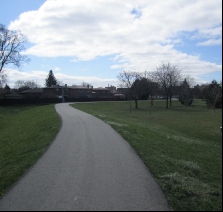
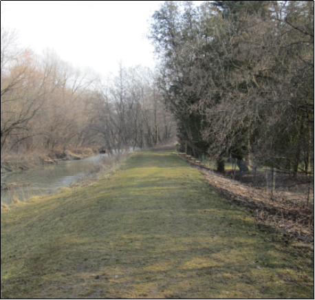
Dixie Dundas Channel & Dyke

Historically the channel overtopped frequently during the spring freshet. The new channel provides flood protection from the 100-year storm (i.e. 1% chance of occurring in a given year)
Watershed: Etobicoke Creek | Location: Located at Dixie Rd. and Golden Orchard Dr., Mississauga | Construction Date: 1990
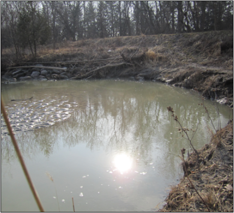
Bolton Dyke/Channel
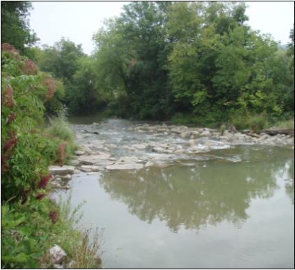
The channel was constructed to provide flood protection for the community of Bolton to the 500-year flood level (0.002% chance of occurring in a given year).
Watershed: Humber River | Location: Highway 50 and King St., Bolton | Construction Date: 1983
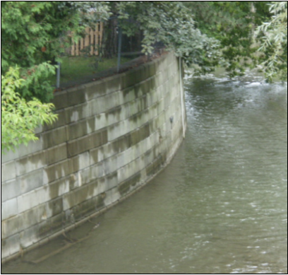
Etobicoke Creek Levee
The levee extension was constructed to protect homes on Meadowland Drive and the Brampton Shopping Plaza from flood flows.
Watershed: Etobicoke Creek | Location: Centennial Park, Brampton | Construction Date: 1967
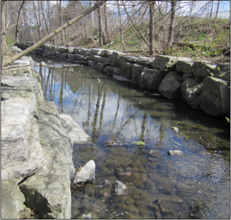
Pickering Ajax Dyke
The area experienced flooding on an almost annual basis. The dyke was constructed to provide flood protection for the 500 year flood level (0.2 % chance of occurring in a given year).
Watershed: Duffins Creek | Location: Kingston Rd. and Church St., Pickering/Ajax | Construction Date: 1983