Palgrave Dam

The dam was originally constructed in the 1850s and was restored in 1983 after TRCA acquired it in 1979. The construction of the dam led to the creation of Palgrave Pond, located on the east side of highway 50. Although no longer in operation as a mill dam, the dam has remained intact to preserve the pond for its local historical and heritage value.
Watershed: Humber River | Location: Highway 50 and Pine Ave., Caledon | Construction Date: 1850s (reconstructed 1983) | Regional municipality: Peel
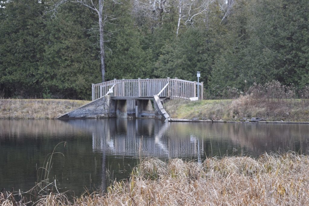
Secord Dam
The dam was originally constructed to provide hydro power to a saw mill operated until the 1950s. The dam and property were acquired by TRCA in 1997. The dam provides no flood protection. The reservoir is used for recreational purposes.
Watershed: West Duffins Creek | Location: 3rd Concession and Secord Rd., Uxbridge | Construction Date: 1922
Glen Haffy Dam
Glen Haffy West and East Dams were constructed to create two small trout ponds downstream of the Glen Haffy Conservation Park fish hatchery. The ponds are stocked with rainbow trout and are a popular fishing destination.
Watershed: Humber River | Location: South of Mono Mills and Hwy 9 on Airport Rd., Caledon | Construction Date: 1950s-60s
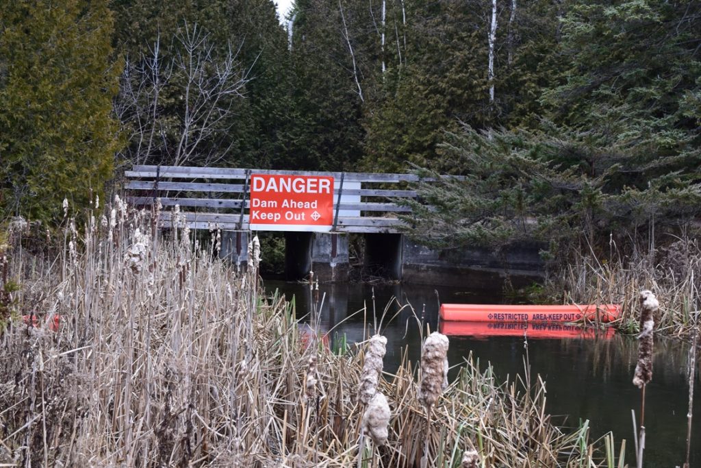
Osler Dam
The Osler Dam was built in 1934 by Goldie’s Construction of Whitby. TRCA purchased the property in 1991. The dam was not designed for flood protection.
Watershed: East Duffins Creek | Location: North West of Concession 9 and Sideline 4, Pickering | Construction Date: 1934
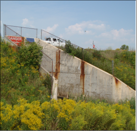
Black Creek Dam
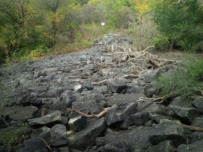
Black Creek Dam is located on the Black Creek tributary of the Humber River upstream of the river crossing of Jane Street, south of Sheppard Ave.The Dam was constructed in 1960 for flood control in reducing downstream flows and velocities.
Watershed: Humber River | Location: South east of Jane St. and Sheppard Ave., Toronto | Construction Date: 1960
Milne Dam
The dam replaced an older dam upstream that was severely damaged during Hurricane Hazel. Secondary uses include regulating summer flow and recreational purposes.
Watershed: Rouge River | Location: Southwest of Hwy 7 and Markham Rd., Markham | Construction Date: 1969
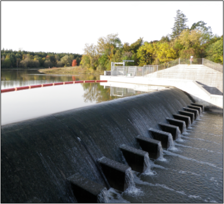
Stouffville Dam
The Stouffville Dam was constructed in conjunction with the Stouffville Channel to provide 100-year flood protection to the Town of Stouffville (1% chance of this type of flood in a given year).
Watershed: Duffins Creek | Location: Millard St. at Stouffville Conservation Area, Stouffville | Construction Date: 1969
Visit TRCAGauging.ca for gauge and monitoring information.