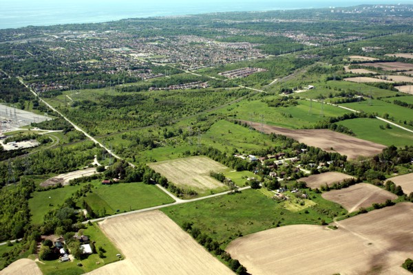
Agriculture dominates the northern area of the watershed, mixed with many large, provincially significant wooded swamps. The south is largely urbanised, with major greenspaces in Altona Forest, and Petticoat Creek Conservation Park at the creek mouth.
While there may be pressure for intensified development in the south, provincial legislation protects the northern and western portions of the watershed.
Over 70% of Petticoat Creek watershed is “Protected Countryside” under the provincial Greenbelt, established in 2005. The western third of the watershed is protected in Rouge National Urban Park, and the northern half falls within the provincial Central Pickering Development Plan (2006).
Fast Facts
- Watershed size: 27 square kilometres
- Municipalities: Pickering, Markham, Toronto, York, Durham
- Length of river system: 49 kilometres. Petticoat Creek flows south and empties into Lake Ontario at Petticoat Creek Conservation Park.
- Land use: agriculture 52%; public and private greenspace 27%; urban development 21%
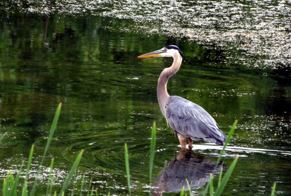
- Flora and fauna species: 85 bird; 6 amphibian; 14 mammal; 4 reptile; 410 plant; 11 fish
- Natural cover: 16% of the watershed is either forest, wetland, or meadow
- Unique features:
- Petticoat Creek’s headwaters, or the source of the stream, are located south of the Oak Ridges Moraine, on the South Slope
- Parts of the watershed in Toronto and York are protected in Rouge National Urban Park
- The Duffins-Rouge Agriculture Preserve and the provincial Greenbelt protect agricultural land outside of the national park in this small watershed
Where can you visit?
- Altona Forest in Pickering is a publicly-owned greenspace. Free admission.
- Petticoat Creek Conservation Park in Pickering has a swimming pool, picnic areas, and other amenities. User fees apply.
- Trails: Waterfront Trail, trails at Petticoat Creek CA